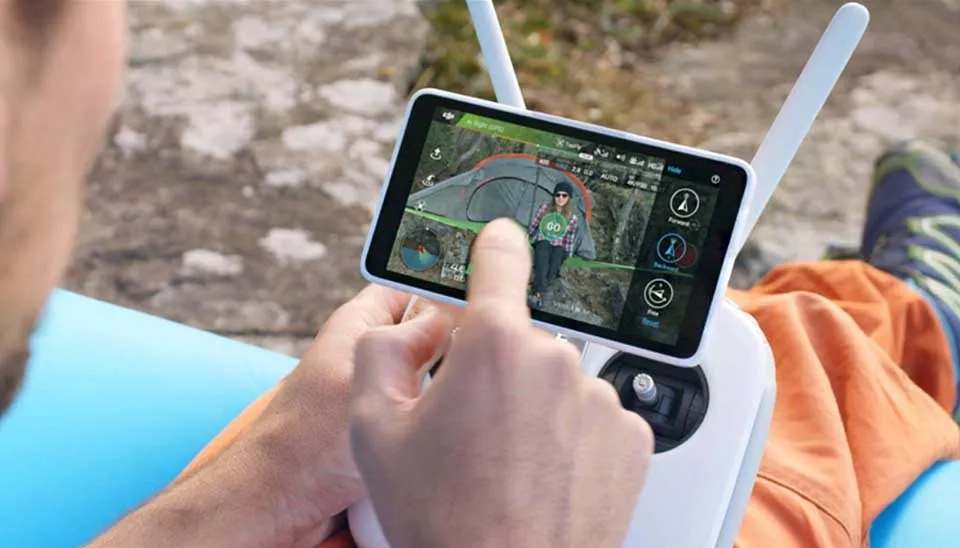
Imagine a world where you can concurrently monitor every aspect of water resources management without being physically involved. This is plausible with drones technology.
Imagine a world where you can concurrently monitor every aspect of water resources management without being physically involved. This is plausible with drones technology. In today's developing world, remote sensing techniques have revolutionized water resources management , either by satellite imagery (Landsat, Modis etc.) or drones. The history of remote sensing (RS) dates back to the Second World War when RS was utilized for observing military bases and mapping their movements. After the Second World War application of RS was limited to military purposes and used used during cold wars between USA and soviet Union , After this era RS application entered in meteorological by introducing satellite sensors , including Geostationary Operational Environmental Satellite (GOES) and polar-orbiting National Oceanic and Atmospheric Administration (NOAA) Advanced Very High Resolution Radiometer (AVHRR) (Melesse et al. 2007), then developed by launching The NASA/USGS Landsat Program for other usages. Nowadays this technology surrenders us in everyday use, including GPS or even making movies. The usage of drones has impressively enhanced in the water industry as well especially in water resources management.
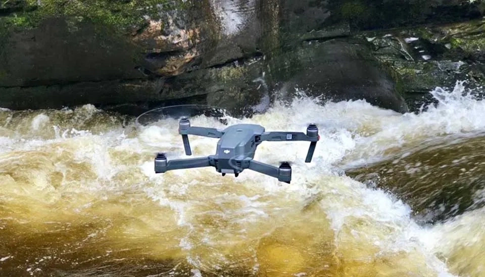
Fig. 1. Drones: Powerful tools for monitoring and managing water resources.
Name
Description
Price
Parrot ANAFI Ai
High-performance drone with advanced AI and 4K camera
4,500$
DJl Phantom 4 Pro
Professional-grade drone with high-quality camera and stability
1,500$
SenseFly eBee X
Versatile fixed-wing drone for surveying and mapping
13,500$
Mavic 2 Pro
Consumer drone with professional-grade camera and stabilization
1,600$
Delair UX 11
Industrial-grade fixed-wing drone for mapping and surveying
This article aims to investigate the 5 different drones that are beneficial for managing water quality, flood and drought, reservoir and dam, snow and ice hydrology, conservation, by providing detailed information about features of these drones along with their strengths and weaknesses followed by and instances of using these drones for above mentioned topics.
1. Parrot ANAFI Ai
Parrot, founded in 1994, is a French technology company popular for drone manufacturing. The company's main focus was on wireless products but later became a major player in the drone industry. One of the latest products is Anafi Ai , which is the first 4G drone. ANAFI Ai features a 4G radio module (alongside to the Wi-Fi radio) enabling the transmission of 1080p videos with a very low latency (300 ms) without range limit and available globally. This module supports almost all of the frequency bands around the world (98%), which is more than 28 frequency bands. The measurement of quality is done every 100 ms to adapt the streaming to the network conditions. The system ensures connectivity even when the Wi-Fi is strongly disrupted by integrating routing algorithms. To conserve mobile data 4G to Wi-Fi transition occurs automatically without interrupting video stream. The video stream latency is 300 ms and Video and controls secured by SRTP/DTLS in accordance with webRTC. The radio front enhances power delivery with sensitivity of -94 dBm at 6.5 Mbps.ANAFI Ai maintains its connection at 4 Hz and can warn the user by encountering an interference-laden environment, or in case of losing the signal (Parrot).
Fig. 2. Close-up view of the 4G radio module in the Parrot ANAFI Ai, enabling extended range and global connectivity.
ANAFI Ai has a Quad Bayer color filter array, where groups of 4 adjacent pixels come in the same color, with real-time HDR in both photo and video modes. Bayer matrix can bring a dynamic range that is 4 times greater than regular sensors that every detail can be seen even with shadows. The ANAFI Ai lens has 6 aspherical elements with optimization for low optical flare. The drone supports H.264 (AVC) and H.265 (HEVC) formats.Maximum brightness of 1,000 nits and 10 bits color depth can be achieved by HDR10 format that is designed for HDR10 TVs and screens. 48 megapixel sensor with sharpening algorithms allow still images,even when using the 6x digital zoom. ANAFI Ai brings 1 cm details at 75 m.
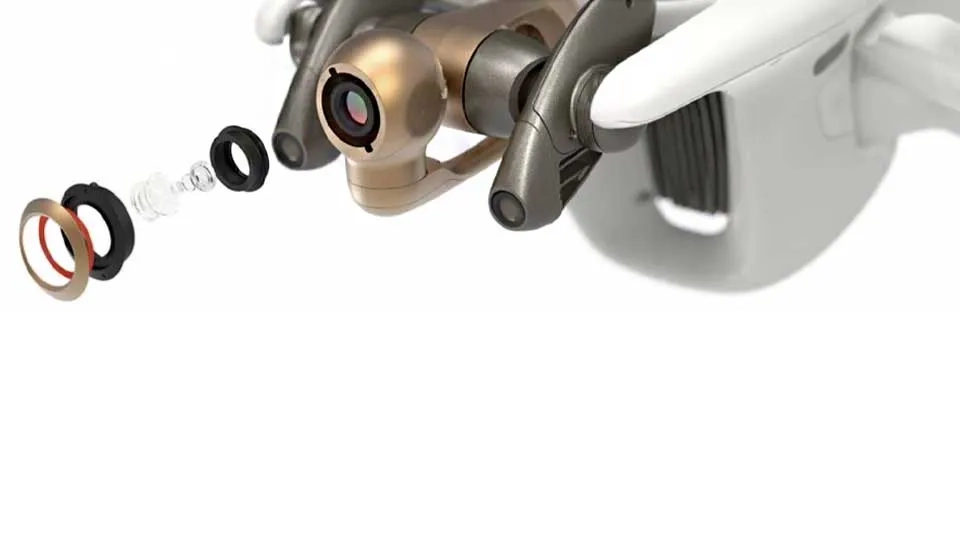
Fig. 3. The sophisticated lenses of the ANAFI Ai, enabling high-resolution imagery and enhanced dynamic range for water resource monitoring applications.
By using FreeFlight 3D a quick scanning with AI begins to identify optimum flight parameters and trajectory. The movement direction of the sensing system is defined by the AI. Obstacles located at 30 m (100 ft) can be detected While performing a flight plan, AI updates the route.
1.1 Use Cases
While ANAFI Ai is a new product of Parrot, which was released in January 2022, there is not a known study in the literature by using this drone to date. However, an older version of the Parrot’s drone (ANAFI) was frequently utilized in the studies. For example, Alptekin and Yakar (2020) utilized ANAFI to determine a volume and 3D surface area of pond volume in Mersin,Turkey. Although the region characteristics were very complex the results were satisfactory. Revuelto et al. (2021) utilized ANAFI to mapping snow depth distribution in complex alpine terrain. Their results underscore that for small regions drones can be a better option than remote sensing techniques in snow distribution estimations.
Table 2. Main features of ANAFI Ai
Weight
Flight technology
Dimensions
Autonomy
898 gr
Quad copter
320 x 440 x 120 mm
32 min
Max wind speed
Lenses
Price
50 km/h
48 MP main camera is equipped with a 6x digital zoom lens and a 1/2-inch sensor, stabilized by a 3-axis gimbal
4500 $
2. DJl Phantom 4 Pro
DJl Phantom 4 Pro is developed by DJI (Dà-Jiāng Innovations) , located in Shenzhen, China. DJI is a pioneer company for drone manufacturing for many applications, such as photography, agriculture. DJl Phantom 4 Pro, made of titanium and magnesium alloy , has a 20-megapixel sensor and Burst Mode stills at 14 fps, shooting 4K/60fps video. 5-direction sensing of obstacles and 4-direction avoidance of obstacles with the FlightAutonomy system can be achieved. a 20-megapixel CMOS sensor with eight parts by a mechanical shutter can delete distortion of rolling shutter when taking images when flying at high speed. Video processing supports H.264 4K videos at 60fps or H.265 4K at 30fps, with a 100Mbps bitrate (Dji) .
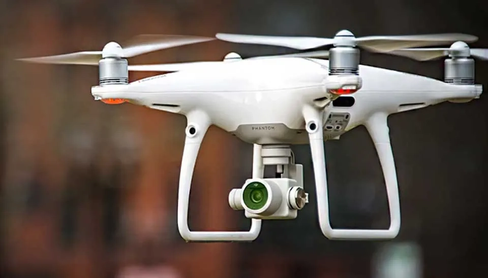
Fig. 4. The DJI Phantom 4 Pro, a professional-grade quadcopter used in water resources monitoring.
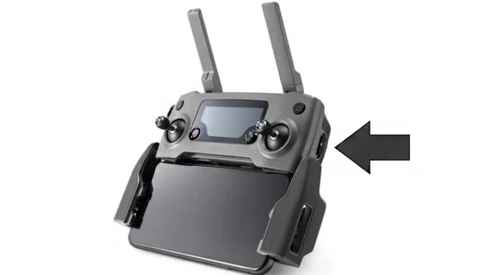
The Phantom 4 Pro controller is equipped with an upgraded Lightbridge HD video transmission system that supports 5.8 GHz, enabling pilots to choose between 2.4GHz and 5.8GHz frequencies. This feature aids in minimizing interference and lowers image delay. The Lightbridge HD video transmission system can automatically select the frequency with the lowest level of interference, which maintains the transmission distance to 4.3mi (7km). The 5.5in 1080p screen controller of Phantom 4 Pro produces high quality output with availability to work in direct sunlight because its brightness is two times greater than usual smartphones. An exclusive app named DJI GO can avoid video lags and images can be editable on this app environment and can be shared instantly. Draw is an innovative technology for managing waypoints. Just sketch a path on the display, and the Phantom 4 Pro will travel that way while maintaining its altitude. This enables the pilot to concentrate on camera manipulation and facilitates more intricate shots.
Fig. 5. The DJI Phantom 4 Pro controller featuring its integrated 5.5-inch 1080p display screen.
The DJI Phantom 4 Pro offers two Draw modes for different scenarios: Standard, where the drone follows a set route at a constant speed with the camera facing forward, and Free, where the drone moves along the route only when instructed, allowing the camera to face any direction. It also features advanced subject recognition, enabling it to follow and capture moving objects with ease. Using intelligent tracking, the drone can trace a subject from behind or in front, fly alongside at various angles, or keep the camera locked on the subject for complex shots.
2.1 Use Cases
DJI Phantom 4 Pro has been widely used in literature in different aspects of water resources science. For instance, De Keukelaere et al. (2023) used DJl Phantom 4 Pro for water quality in inland, transitional or coastal surface waters across Europe. They concluded that airborne drone information holds significant potential for integration into operational monitoring programs and can establish valuable connections between satellite and in situ measurements. Marcisz et al. (2022) utilized DJl Phantom 4 Pro for sampling from hard-to-reach surface reservoirs. The results were satisfactory and the drone could successfully finish the mission.
Table 3. DJl Phantom 4 Pro
Weight
Flight technology
Dimensions
Autonomy
1388 gr
Quad copter
289.5 × 289.5 × 196 mm
30 min
Max wind speed
Lenses
Price
36 km/h
20 MP camera with 24mm f/2.8 (wide-angle lens)
1500$
Take a look at Amazon if you are interested in this drone.
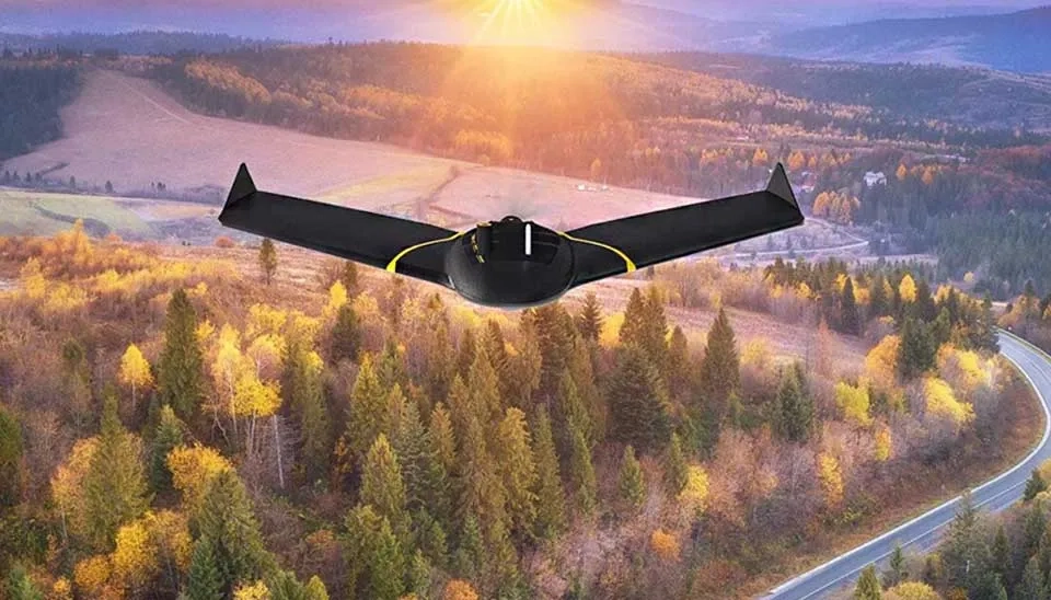
3. SenseFly eBee X
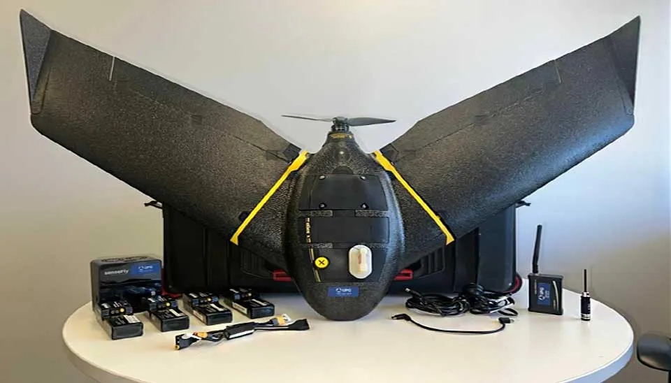
SenseFly, a Swiss company and a subsidiary of AgEagle Aerial Systems, has developed the eBee X, a high-performance fixed-wing drone tailored for mapping and surveying different tasks in agriculture, construction, environmental monitoring, mining, and GIS. It offers up to 90 minutes of flight time, enabling coverage of up to 500 hectares (1,235 acres) in a single flight at 120 meters altitude with absolute accuracy of down to 3 cm (1.2 in) and eMotion flight planning software offers live air traffic data option for more awareness. The eBee X supports a wide range of interchangeable sensors, such as the MicaSense RedEdge-MX for multispectral imaging, the senseFly S.O.D.A. 3D for 3D modeling, senseFly Aeria X for RGB outputs, senseFly Duet T for thermal mapping, MicaSense RedEdge-MX for advanced agricultural analysis, and Parrot Sequoia+ that uses four spectral bands.
MicaSense RedEdge-MX captures five spectral bands with a composite RGB output, delivering optimized Ground Sampling Distance (GSD) of 8 cm (3.1 in) when operated at an altitude of 120 m (400 ft) above ground level (AGL). It process inherent radiometric calibration with a global shutter to capture distortion-free images.
Fig. 6. The SenseFly eBee X, a versatile fixed-wing drone designed for surveying and mapping in water resources management.
S.O.D.A. 3D is an innovative photogrammetry sensor that adjusts its orientation mid-flight to capture three images simultaneously—two oblique and one nadir—providing a significantly broader field of view. This capability enables the creation of highly detailed 3D digital reconstructions of vertical environments. The senseFly Aeria X is a powerful and compact photogrammetry solution designed for RGB high quality outputs. Featuring an APS-C sensor with a global shutter, it delivers exceptional detail and clarity in nearly all lighting conditions, enabling extended mapping hours each day. The senseFly Duet T is a professional dual-camera system designed specifically for thermal mapping applications, enabling the creation of high-resolution thermal maps. This robust and intelligent rig integrates two high-performance cameras—a thermal infrared sensor and the senseFly S.O.D.A. RGB camera—seamlessly synchronized using unique Camera Position Synchronisation (CPS) technology for harmonized imagery.
Fig. 7. The SenseFly eBee X, showcasing its diverse selection of sensors for various water resources applications
The MicaSense RedEdge-Mx is a durable and high-precision multispectral sensor designed for advanced agricultural analysis. It features five spectral bands along with composite RGB output, providing an optimized Ground Sampling Distance (GSD) of 8 cm (3.1 in) when operated at 120 m (400 ft) above AGL. Equipped with a DLS 2 light sensor for precise radiometric calibration and a global shutter to capture distortion-free images, it ensures reliable and accurate data collection. The Parrot Sequoia+ is a multispectral crop camera that captures imagery across four spectral bands along with RGB, making it ideal for detailed agricultural analysis with automatic radiometric calibration (AgEagle).
More information about this drone model can be found on the AgEagle website.
3.1 Use Cases
SenseFly eBee X used in different areas specially in water related science. For example, Pricope et al. (2022) used SenseFly eBee X for delineation and classification across a Gradient of wetland types in the north of the USA. The findings indicated using drones especially this model is advantageous to use in delineation and classification. Maravilla et al. (2019) utilized SenseFly eBee X for Chlorophyll-a estimation in Sampaloc lake located in the Philippines. A chlorophyll-a concentration map was produced, and evaluated. The results indicated the power of SenseFly eBee X on producing high resolution maps.
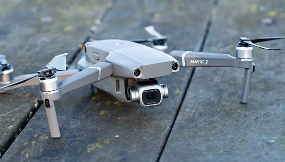
4. Mavic 2 Pro
Mavic 2 Pro is another popular product of DJI, published on Mar 21, 2020. This drone integrates a Hasselblad camera with a 1-inch CMOS sensor , allowing it to capture high quality videos and images even in early mornings or at dusk. This camera also provides 20MP still images with more vivid and depth colors in comparison to the smaller sensors. The aperture is adjustable from f/2.8 to f/11, which can provide more control for exposure . With video capturing with 4K resolution at 30fps , H.265 codec, and HDR allow to capture more vibrant and balanced contrast between bright and dark areas, making it a professional tool for post-production workflows. The 3-axis gimbal stabilized footage in windy conditions or high speeds, minimizing shakes, enabling capturing at exceptional visuals from wide landscapes to intricate close-ups.
Fig. 8. DJI Mavic 2 Pro, featuring its Hasselblad camera with a 1-inch CMOS sensor.
With a single charge Mavic 2 Pro has a 31 minutes of flight time, enabling more footage without needing frequent recharges by Smart flight battery.Omnidirectional obstacle can get a 360-degree coverage from all directions during flight Moreover, the drone is equipped with APAS 2.0 (Advanced Pilot Assistance System), utilizing advanced algorithms to facilitate real-time automatic obstacle avoidance while in flight, allowing pilots to maneuver through challenging or crowded areas more easily. Capturing moving subjects is easy in Mavic 2 Pro with ActiveTrack with high precision, and with Point of Interest and Waypoint Navigation users can execute intricate flight routes around objects or along predefined routes. Moreover, the Mavic 2 Pro works with DJI’s smart controllers and mobile applications, providing user-friendly control, real-time video streaming, and effortless content sharing.
Fig. 9. Mavic 2 Pro controller enabling precise control and real-time drone monitoring.
4.1 Use Cases
The DJI Mavic 2 Pro drone is extensively utilized in numerous research investigations concerning water resources management because of its sophisticated imaging and remote sensing features. For instance, Vellemu et al. (2021) used DJI Mavic 2 Pro for basic water quality assessment across a river in the Southern region of Malawi. They concluded that under comparable environmental and physical conditions along with pilot experience, the Mavic 2 Pro can produce larger and significantly more dependable datasets more quickly than conventional methods. McGrath et al.2022 created a series of snow density and snow water equivalent observations derived from the Integration of ground-penetrating radar (GPR) and DJI Mavic 2 Pro. They results were accurate and efficient.
Table 5. Movic 2 Pro overall information
Weight
Flight technology
Dimensions
Autonomy
907 grams
Quad copter
322 x 242 x 84 mm
31 min
Max wind speed
Lenses
Price
38 km/h
20MP one-inch Hasselblad sensor
1,600 $
More information about this drone model can be found on the DJI website.
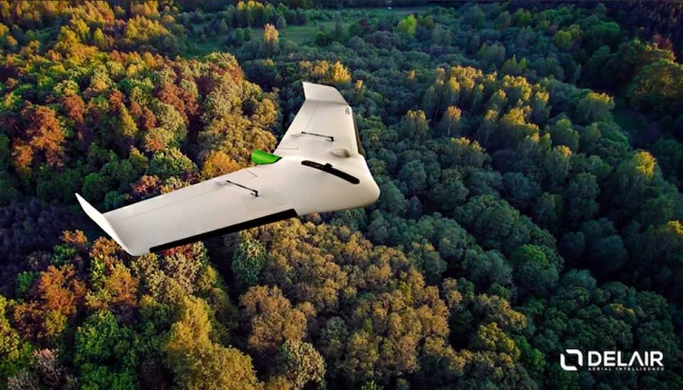
5. Delair UX 11
Delair is a French firm focused on creating and producing professional fixed-wing drones, including the UX11. The Delair UX 11 uses Real-Time Kinematic (RTK) and Post-Processed Kinematic (PPK) capabilities facilitating centimeter-level precision in geospatial data acquisition. The automated flight planning and easy hand-launch feature of the drone guarantee that even individuals with little drone experience can use it successfully. UX11 comes with a 21 MP camera with a high-resolution RGB camera and Its fixed-wing provides extended flight times up to 80 minutes. The drone's weather-resistant design enables operation in tough conditions, while Delair.ai cloud platform simplifies data processing for 3D modeling, orthomosaic creation, and vegetation assessment.
Fig. 10. Delair UX 11 An industrial-grade fixed-wing drone for mapping and surveying.
The UX11 additionally incorporates various onboard sensors, including a GNSS module for accurate positioning, an inertial measurement unit (IMU) for stability during flight, and a barometer for measuring altitude. These sensors collaborate to guarantee that the drone gathers precise georeferenced information and functions dependably under different conditions. Another prominent characteristic is its capability to effortlessly connect with multiple third-party software applications for enhanced data analysis. This compatibility facilitates seamless data export and handling, improving the overall effectiveness of decision-making processes driven by data. Additionally, the drone's streamlined structure and convenient portability render it perfect for operation in both city and remote areas with harsh environments.
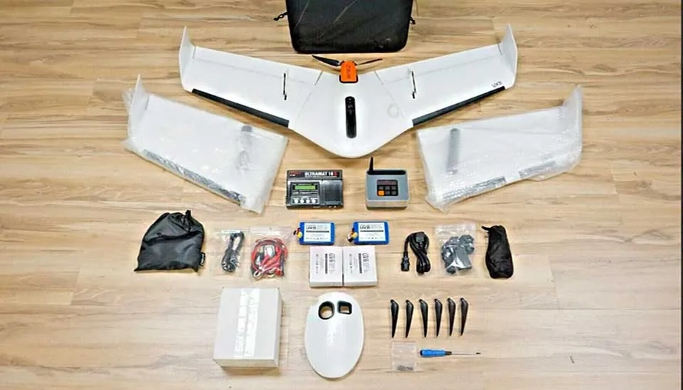
Fig. 11. Key components of the Delair UX 11 industrial drone.
5.1 Use Cases
The Delair UX11 can be applied in water resources management, especially in activities involving surveying, monitoring, and analysis of water bodies, flood risk evaluation, and environmental management. However , we couldn't identify an instance of using Delair UX 11 in water science.
Table 5. Delair UX 11 overall information
Weight
Flight technology
Dimensions
Autonomy
1,500 gr
Fixed wings
125 cm wingspan
80 min
Max wind speed
Lenses
Price
45 km/h
21 MP high-resolution RGB camera with optional multispectral sensors
15,000 $
More information about this drone model can be found on the Delaire website.
Conclusion
Drones have become an invaluable tool in water resources management, offering a wide range of features , such as monitoring, data collection and analysis more robust than traditional methods. We disguised about different feature of 5 different drones , namely Parrot ANAFI Ai, DJI Phantom 4 Pro, SenseFly eBee X, Mavic 2 Pro, and Delair UX 11, each one has a unique benefits from high resolution cameras to extended flight times and AI integration that offer approaches to different aspects drones.Their use in hydrology, irrigation, flood management, and environmental protection is changing how water resources are managed, enabling more precise evaluations, quicker decision-making, and well-informed strategies. Although there are advantages, it is crucial to thoughtfully evaluate the drawbacks, including payload limits and flight duration, when choosing a drone for particular water resource management requirements. As drone technology continues to advance, these devices will certainly take on a more important role in tackling worldwide water issues, promoting sustainable and effective management of water resources for the future.


Comments
No comments yet
Be the first to comment
Share your thoughts and start the conversation.