Have you ever pondered the profound impact of the technological explosion on our lives and the modern world? This article ventures into the realm of water resources studies, unraveling the transformative role of technology. How has technology reshaped the landscape of water studies? Explore the origins and applications of the term 'hydroinformatics'. Join us in this article for an eye-opening journey into the intersection of technology and the intricate world of water resources.
In the ever-evolving realm of water resources management, a groundbreaking synergy between hydrology and information technology has emerged, paving the way for a transformative discipline known as hydroinformatics.
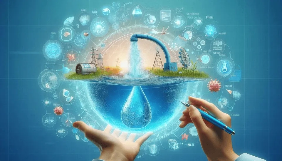
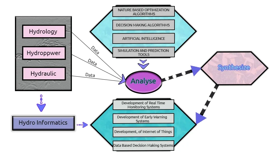
Hydroinformatics is a field of study that concerns the flow of information and its knowledgeable application to water resources and environmental engineering areas. It is concerned with developing and applying mathematical models and advanced information and communication technology to the problems of water engineering as a whole.
Hydroinformatics technology applies different computational modeling methods to estimate the effects of proposed infrastructure plans and operational policies that address water quality and quantity issues and meet the goals of economic, social, and environmental water management. Then this information is reported to the public, managers, and decision makers of water resources (Loucks, 2023).
Hydroinformatics provides a suitable opportunity to assess some water-related issues in a way that can develop a proper integration between data, models, and decision support.
Over thirty years have passed, and the applications of hydroinformatics in water science have evolved to encompass a wider range of challenges. It now addresses not just the physical, chemical, and biological aspects but also considers the cultural, economic, political, sociological, and legal aspects in the design and management of water (Tian et al., 2024).
Utilizing advancements in computer technology, hydroinformatics has grown to incorporate Geographic Information Systems (GIS), remote sensing, artificial intelligence, machine learning, big data analytics, and interactive virtual reality environments. This article delves into the realm of hydroinformatics, exploring its tools and applications.
1. What is Hydroinformatics?
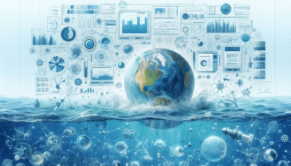
Hydroinformatics is the name of a new way of applying knowledge, as this knowledge is utilized in water science. Hydroinformatics is a branch of informatics that focuses on the application of Information and Communication Technologies (ICTs) to address the serious problems of equitable, efficient, and sustainable use of water for various purposes. The syllable hydro comes from the Greek word for water, and the term informatics is synonymous with the study of computing systems. Hydroinformatics applies numerical modeling as well as data science methods for the management of water resources. Furthermore, Abbott stated that "hydroinformatics is the technology of applying computational hydraulics within society" (Abbott, 1991). In the assessment of hydroinformatics applications, it was established that it is a typical representative of fields in which complex systems with many uncertainties are studied.
2. Tools of hydroinformatics
Today, hydroinformatics involves a diverse array of tools and methods for the management and analysis of water systems and associated data. Essential tools of hydroinformatics encompass (Gasmelseid, 2010):
2.1. GIS
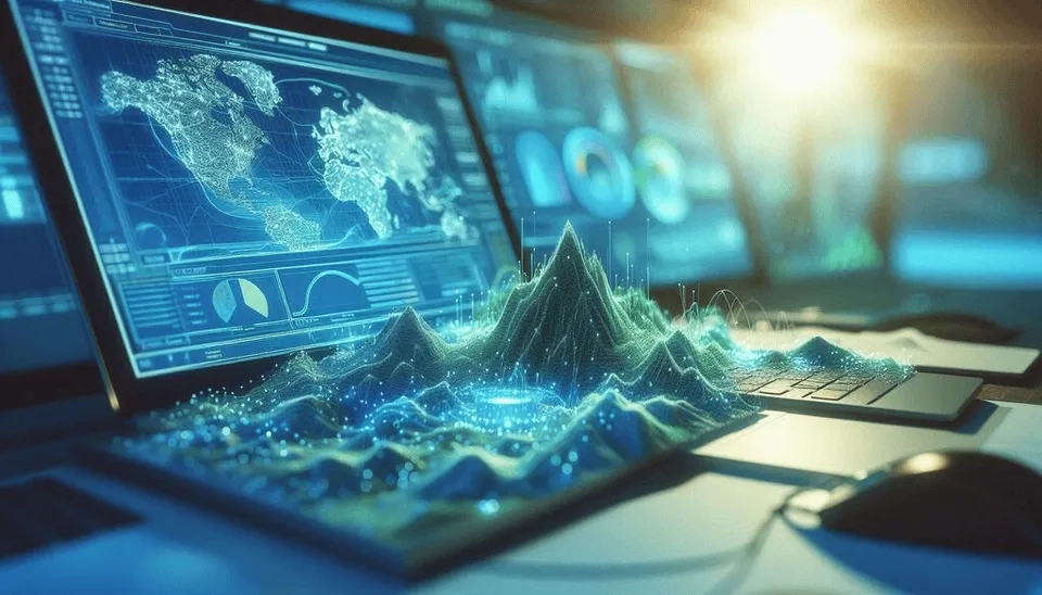
At the forefront of hydroinformatics, experts harness the power of Geographic Information Systems (GIS) to analyze and visually represent geospatial data, including river networks, watershed boundaries, and land use patterns. These resources assist intelligent choices in the management of water resources by providing an in-depth understanding of hydrological processes. Researchers can map out complex water systems, detect possible dangers, and improve resource distribution plans with the use of GIS technology. Furthermore, GIS is essential for modelling and simulating hydrological processes, which helps scientists predict water-related occurrences more accurately. As a result, the application of GIS to hydroinformatics improves our capacity to handle water-related issues and manage aquatic ecosystems in a sustainable manner (Hamal, 2020).
2.2. Satellite and Remote Sensing
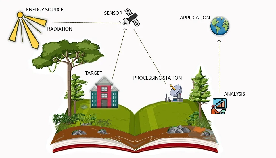
Experts in the field of hydroinformatics use cutting-edge tools like remote sensing
remote sensing to collect vital information on water resources. Remote sensing makes use of satellite and aerial data to identify changes in water levels, areas impacted by flooding or drought, and shifts in land use over large areas over a period of time. Researchers can track environmental changes, evaluate the effects of climate change, and create practical mitigation strategies due to this essential knowledge. Scientists can better understand hydrological processes and make decisions to protect the availability of water for future generations by incorporating remote sensing data into hydroinformatics estimations (Duan et al., 2021).
2.3. Optimization and Simulation Modelling Software
Optimization and simulation modelling software for identifying and evaluating alternative plans and management policies and for estimating their possible physical, environmental, and social impacts. They can help in the prediction of water flows, water qualities, and other aspects of water systems over time and space and how they will respond to changes in weather patterns, land use, management decisions, and other factors. Modeling is about quantifying physical processes using symbolic equations or relationships. With the help of computers, models were able to reproduce the physical world and manipulate digital representations of it in order to improve the performance of physical systems (Herrera et al., 2018).

2.4. Data Management Software
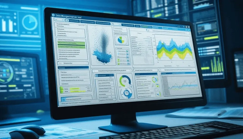
Data management software for storing, managing, visualizing, and analyzing water-related data. Decision making in water management depends on the collection, archiving, and analysis of data. Engineers have collected large amounts of data, including surveys of land and assets, rainfall monitoring and system performance in terms of rainfall, discharge, quality and sediment, flood and pollution reports, structural surveys, etc. In general, these data sets are applied to identify design flaws, accommodate basin development, plan engineering works, and improve performance. The value of such data and the need for their quick and efficient archive and analysis lead to computer-based data management, from acquisition to use in decision making (Reinstädtler et al., 2023).
2.5. Artificial Intelligence Tools
Artificial intelligence, such as machine learning techniques, is employed for the analysis of extensive and complex systems or datasets related to the environment. This knowledge serves as a remarkable tool in hydroinformatics, enhancing our ability to understand and manage water resources effectively.. Artificial intelligence programmes improve the use of available advances in computing by explicitly representing heuristic knowledge, providing reasoning strategies for searching this knowledge, and including explanatory facilities (to explain why a particular input is needed). These features are important for hydroinformatics because they lead to better and more informed decision making (Corzo Perez and Solomatine, 2024).

3. Hydroinformatics Application
Water-based systems, by nature, are non-linear, complex, dynamic, uncertain, and constitute multidimensional interactions between natural, man-made, and human/social systems. By using a wide variety of digital technologies for data gathering, data analysis, and data modelling, the field of hydroinformatics provides a unique opportunity to address these challenges in the management of water-based systems. Hydroinformatics offers a fresh perspective that is enabling communities around the world to tackle age old problems in new ways and with a bigger toolset. Hydroinformatics tools and methods can be applied, for example, in:
3.1. Flood Prediction and Flood Management
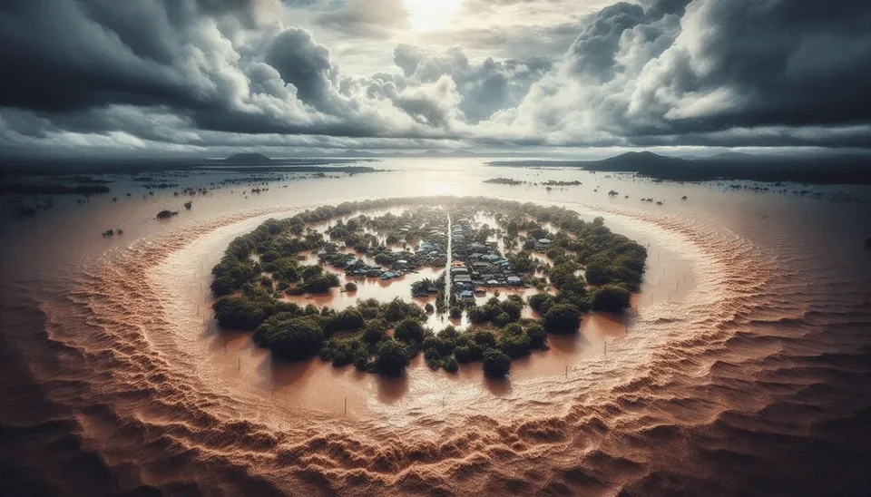
The application of hydroinformatics in flood forecasting is essential to minimizing the impact of floods on communities, infrastructure, and the environment. By using real-time data from monitoring stations and hydrological models to predict flow, authorities can improve their ability to predict, respond to, and manage flood events, ultimately increasing overall flood resilience (Verwey, 2007).
3.2. Integrated Water Resources Management
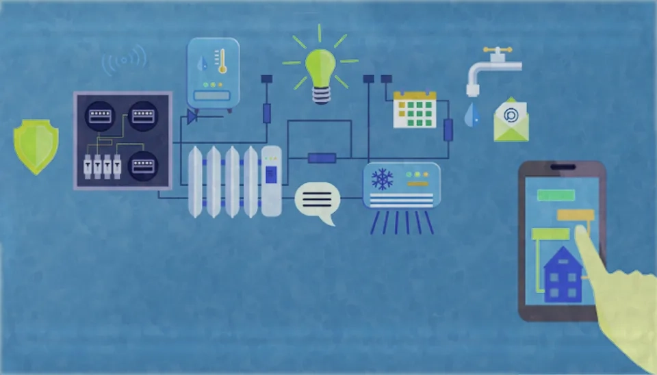
Hydroinformatics can facilitate an integrated assessment of water resources problems because it is an interdisciplinary area of study which draws from the three worlds of science, technology and society (Abbott, 2002). It blends technological, hydrological, hydraulics, and environmental engineering with social and ethical interests. It encompasses the application of information, communication, and data technologies to problems in aquatic environments. So, by integrating scientific knowledge, technological advancements, and societal values, hydroinformatics plays a crucial role in shaping the future of water resource management.
3.3. Irrigation Management
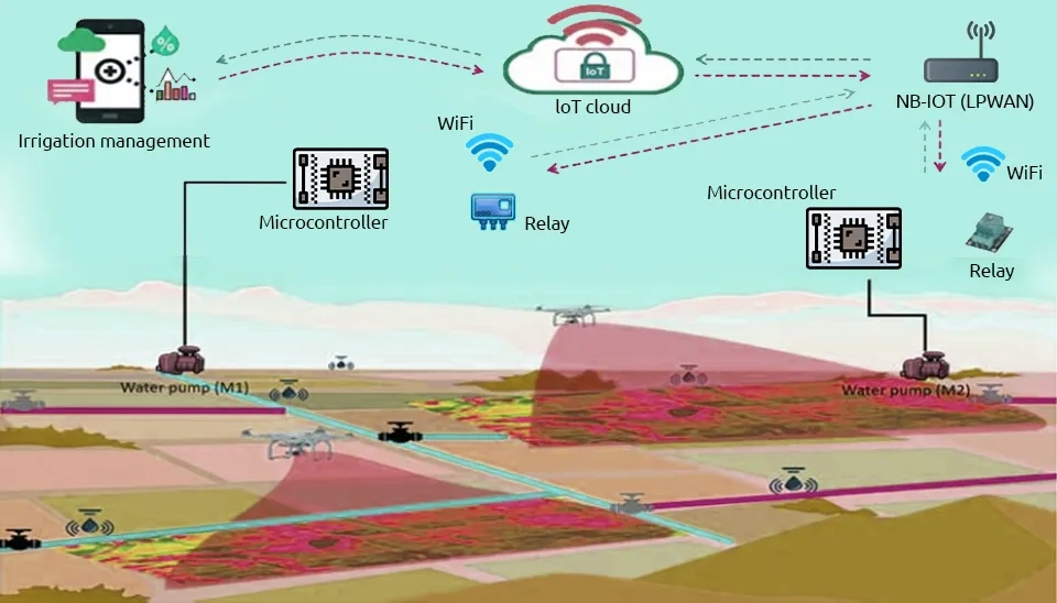
Hydroinformatics technology can be used to identify and evaluate irrigation management, including crop selection, saving water, improving crop yield, reducing costs, irrigation scheduling, and sustainable agricultural practices. Using advanced technologies and data-driven insights, farmers can optimize their water use, reduce environmental impacts, and increase the overall productivity of agricultural systems (Celicourt et al., 2020).
3.4. Water Supply Management
Water supply system management is a complex process that involves extensive distribution of water over long distances. Also, water supply management includes water resource management, water distribution, and demand management. Water supply system management must ensure issues such as providing suitable hydraulic conditions for water distribution and accumulation, ensuring water quality during distribution, and creating an economic rate. Using the high-resolution data obtained from smart meters, water network management systems now exist that can identify their problems and provide operators with solutions on the best mitigation strategies and related outcomes. For more effective management of water supply systems, it is convenient to use modern hydroinformatics tools such as dispatching, GIS, and mathematical modeling. The ever-increasing development of computer techniques, measurement techniques, data collection and processing methods, and GIS has led to the creation of tools to simplify the operation of water network infrastructure (Marsalek et al., 2017).
3.5. Environmental Monitoring
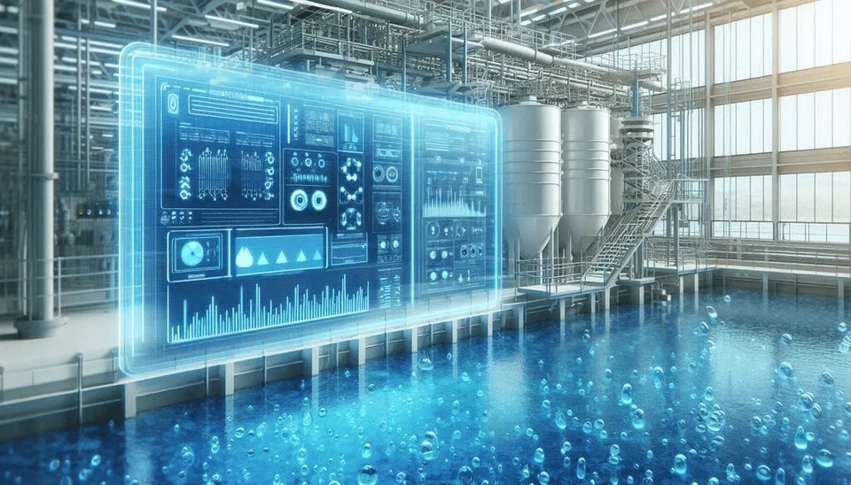
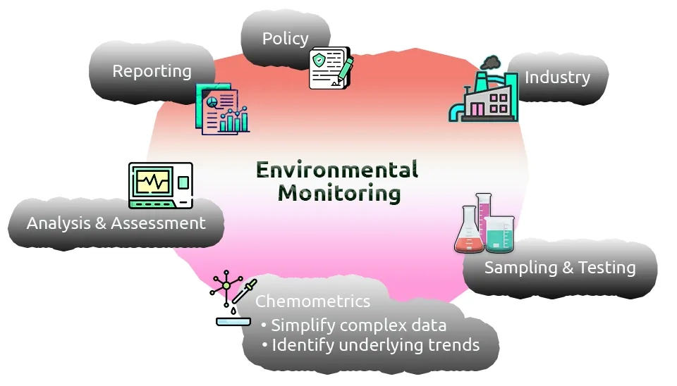
Hydroinformatics techniques play a crucial role in environmental monitoring by examining the spatial and temporal distribution of various water quality components and other environmental factors. These factors include nutrient levels, sediment concentrations, and transport, as well as the presence of different species and water levels in aquatic ecosystems. The objective is to detect and address any negative environmental impacts. Earth observation sensor developments, lately facilitated by crowdsourcing, social media, and citizen science, which gather information about our planet, make hydroinformatics tools increasingly relevant for understanding changes and for processing data and management.
One of the problems that water companies face is the monitoring of underground pipe systems. A multitude of micro-robots can exist in buried pipe networks. Handheld video cameras and audio loggers can be replaced by such autonomous robots to facilitate inspection of pipe systems and data collection to evaluate pipe conditions and maintenance needs (Rodríguez-López et al., 2023).
3.6. Climate Change Impact Assessment
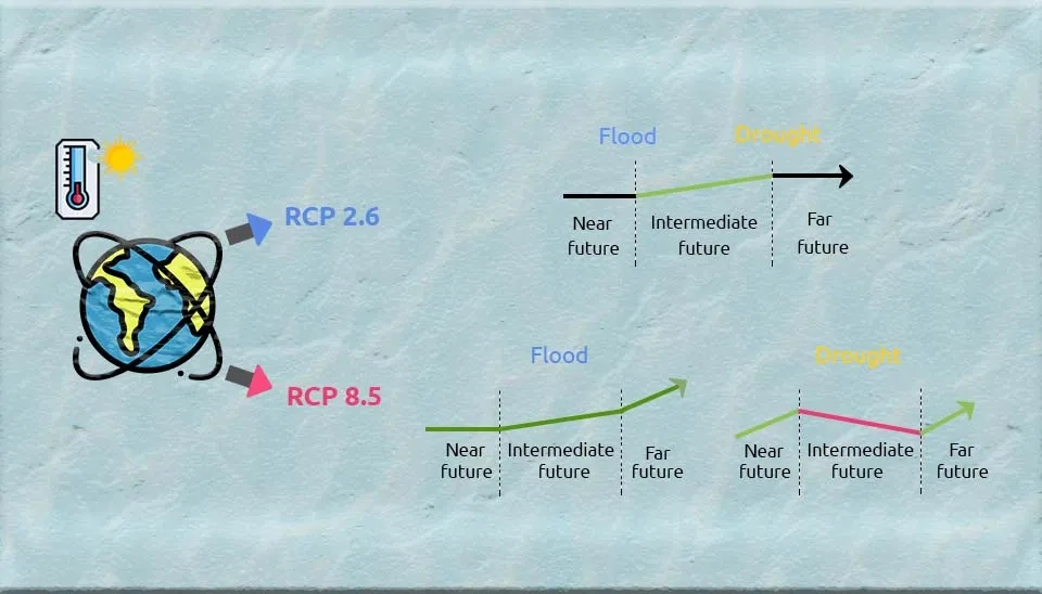
Digital tools and solutions help to manage future issues such as population growth, urbanization and climate change. With the assessment of hydroinformatics applications, the uncertainties and consequences for the water sector related to these important challenges can be better understood. This is an urgent need, as the demand for an adequate supply of good quality water will increase in the near future. And the availability of water is not something we can simply take for granted in the face of climate change and the resulting long dry periods. Therefore, leveraging hydroinformatics tools and solutions is essential for ensuring sustainable water management practices and safeguarding water resources for future generations (Pinho et al., 2004).
4. Conclusion
A sustainable approach to water management needs to go beyond the simple coupling of society and nature to involve the construction of shared understandings of problems and solutions. Therefore, the new generation of water models and other hydroinformatics tools should incorporate novel mechanisms of communication between, first, water modelers, physical and social scientists, and, second, the academic community, policy-makers and water stakeholders. Applications of Hydroinformatics in Water Science is an encompassing cross disciplinary concept covering hydraulics, hydrology, environmental engineering, socioeconomics, and political (institutional) disciplines, and it uses information and communication to provide evidence for decision-makers in water management.
