9 Application of Drones in Water Resources
Remote sensing is a developing science in our growing world, which helps us in different areas from space exploration to water resources.
EErfan Zarei
· 18 min read· 25 views

Remote sensing is a developing science in our growing world, which helps us in different areas from space exploration to water resources.
Quick answers to common questions.
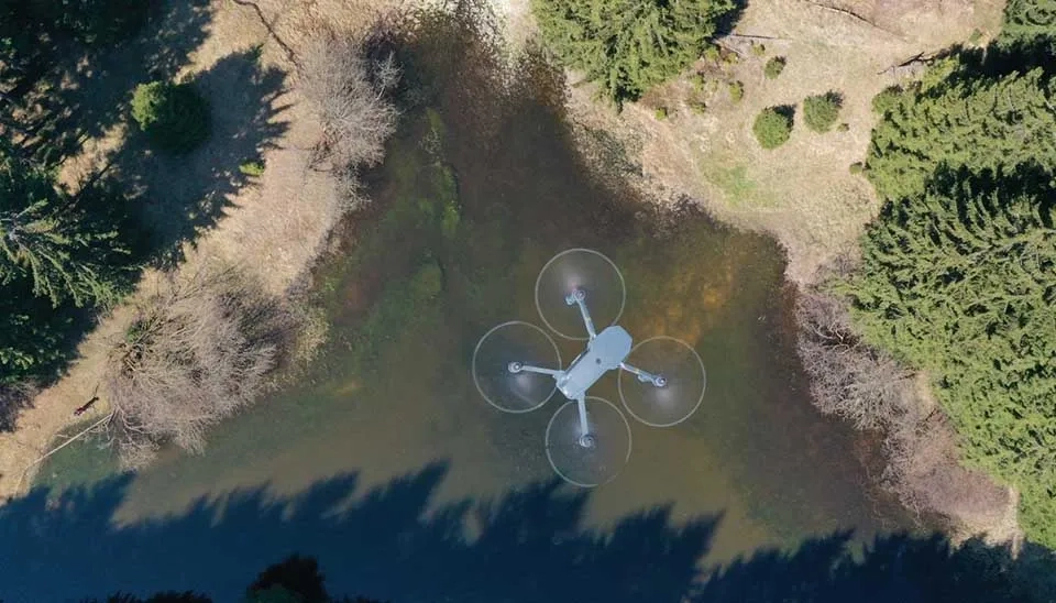
Remote sensing is a developing science in our growing world, which helps us in different areas from space exploration to water resources. Remote sensing is the process of collecting data about an object or phenomenon without making physical contact, typically through the use of satellite or aerial sensors. Remote sensing has different and vast branches, and one of them is unmanned aerial vehicles (UAVs), also known as drones. In contrast to traditional remote sensing methods , such as satellite imagery, drones offer data with improved temporal and spatial resolution and are unaffected by cloud cover. UAVs greatly lower research expenses because they need fewer resources and staff to reach the study location (Tovar-Sánchez et al., 2021). The application of UAV technology as a remote sensing tool has initiated a transformation in environmental monitoring and water resources. Drones facilitate high-resolution imaging and real-time data collection, rendering them useful for environmental observation and hard-to-reach environments (Makam et al., 2024). In the context of water resources, it can be utilized for tasks such as flood and disaster monitoring, water quality assessments, snow and ice mapping, and the mapping of river basins and wetlands. Their ability to fly at low altitudes allows for detailed surveys, especially in areas where traditional satellite data might be limited due to resolution constraints or cloud cover interference.
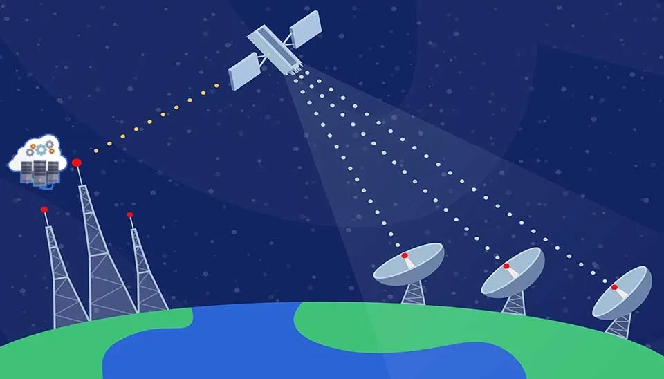
Table 1. nine application of drones in water resources
Application | Description |
Snow monitoring | Drones monitor snow depth, SWE, and melting trends. |
Water quality monitoring
Drones with multi-spectral bands measure different reflectance for calculating water quality parameters |
Reservoir monitoring | Drones estimate the extent and depth of reservoirs |
Irrigation and agricultural monitoring | Drones monitor crop health, water stress, and irrigation performance. |
Flood management and monitoring | Drones can detect flood extend and hazard mapping |
Wetlands restoration and monitoring | Drones track vegetation, water levels, and water quality parameters |
Coastal and oceanographic monitoring | Drones track coastal change and erosion |
Groundwater recharge and monitoring | Drones monitor groundwater level and recharge zones |
Cloud seeding | Drones spraying seeding particles |
This article dives into the 5 applications of drones in water resources , highlighting their potential for solving water resources.
For further reading, see our related article on frequently used Drone Models for Water Management, available here.
Generally mountainous areas where snow affected and subzero temperature, making them inaccessible. Therefore, drones are a powerful tool in this area. One of the key parameters of snow is snow water equivalents (SWE), referred to as the amount of water (in the form of snow) collected by a catchment basin during the winter. SWE itself depends on several parameters, such as snow depth, snow density, and snowwater content. Drones with LIDAR (Light Detection and Ranging) and an active laser sensor can effectively measure snow depth by capturing the elevation differences between the snow surface and underlying ground , providing high-resolution images (Deems et al., 2017). In photogrammetry, utilizing cameras and GPS data, drones can generate intricate 3D representations of the snow surface, which can be analyzed to determine snow depth. Nonetheless, the expense of drones equipped with LiDAR is significantly higher than that of an appropriate drone and camera for photogrammetry (Brown et al., 2024). Another way to estimate SWE is through snow density. Drones equipped with infrared, multispectral, or hyperspectral cameras enable analysis of snow properties, especially density (McGrath et al., 2022). Another type is sampling directly with a drone, providing real-time, on-site data to enhance the accuracy of SWE estimations.
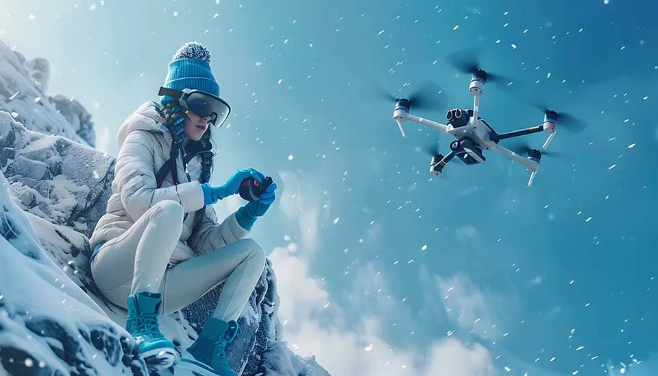
Snowmelt patterns can also be estimated by drones, especially in regions that experience rapid snowmelt due to temperature fluctuations. Due to the thermal cameras, drones can deliver information on temperature variations across snowpacks, crucial for forecasting snowmelt and its related runoff. Snow cover extent can study by drones with multispectral or hyperspectral cameras. This aids in monitoring patterns of snow accumulation and loss, beneficial for both seasonal and real-time SWE models.
Drones have been used frequently for snow monitoring due to their ability to collect high-resolution, real-time data from areas that may be difficult to access by traditional means. For example, Van Der Jagt et al., (2015) used a photogrammetry approach for snow depth retrieval in alpine areas, and high-resolution maps with 50 cm resolution snow depth maps were created. Revuelto et al., (2021) evaluated snow depth maps from 3 drones by enhancing image acquisition and creation of 3D models. McGrath et al., 2022 created a series of snow density and SWE observations derived from the integration of ground-penetrating radar (GPR) and drone.
Drones are being used more frequently for monitoring water quality because they can gather real-time, high-resolution information from expansive or difficult-to-access bodies of water. They are especially beneficial for tracking factors like water temperature, turbidity, pH levels, dissolved oxygen, and contaminants (Mabhaudhi et al., 2022). Drones with multispectral and hyperspectral sensors can be useful for water quality indicators in aquatic environments. These sensors enable the remote monitoring of different water quality parameters, including chlorophyll levels, suspended solids, and nutrient concentrations. Multispectral sensors collect information across several wide spectral bands, usually spanning from visible light to near-infrared wavelengths. For example, chlorophyll captures light at particular wavelengths (approximately 430–450 nm for blue and 640–680 nm for red), but reflects light in the near-infrared area (Szabó et al., 2024). Drones can identify the amount of chlorophyll by assessing the ratio of light reflected in certain bands, which indicates the degree of phytoplankton or algal proliferation in a water body. In contrast, hyperspectral sensors collect data over a significantly larger number of narrow spectral bands (typically hundreds), yielding a more detailed resolution of the light spectrum (Ma et al., 2023). For example, specific absorption characteristics in the electromagnetic spectrum (like at approximately 680 nm for nitrogen compounds) can be identified to evaluate the nutrient levels in the water.
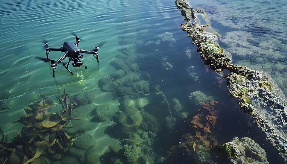
Drones have been widely used for water quality monitoring due to their efficiency. For instance, De Keukelaere et al. (2023) mapped turbidity and Chl-a with a drone in inland, transitional, or coastal surface waters across Europe. Ying et al. (2019) mapped suspended solids and turbidity with images from a drone and matching pixel-by-pixel (MPP) algorithm across a lake in China. Zhang et al., (2023) utilized a drone with a multi-parameter detection device for the detection of the potential of hydrogen (pH), turbidity, and total dissolved solids (TDS) in addition to water sampling.
The application of drones in monitoring reservoirs is revolutionizing water resource management through enhanced real-time data collection, facilitating better decision-making, and enhancing operational efficiency. Drones, particularly those fitted with remote sensing technology, enable thorough and effective observation of vast or inaccessible water bodies (Acharya et al., 2021). Drones can monitor reservoir levels and detect changes in water storage with high-resolution optical and infrared cameras and LiDAR sensors. Also, drones equipped with Synthetic Aperture Radar (SAR) can help in surface water variation, and multispectral and hyperspectral sensors enable capturing surface water variation (Ridolfi and Manciola 2018).
Drones are increasingly used in quantifying the area and volume of the reservoirs rather than traditional methods because traditional methods usually pose logistical challenges. For example, Ridolf and Manciola (2019) proposed a drone-based sensing technology with a camera to measure water levels, analyzing images using the Canny technique to identify edges and ground control points for comparison with conventional measurements. Silva Costa et al., (2019) introduce a new methodology for calculating the area and volume of reservoirs in rural areas by comparison of data obtained with a drone with field measurements. Marcisz et al., (2022) utilized a drone for the collection of water samples intended for physicochemical tests from hard-to-reach surface reservoirs.
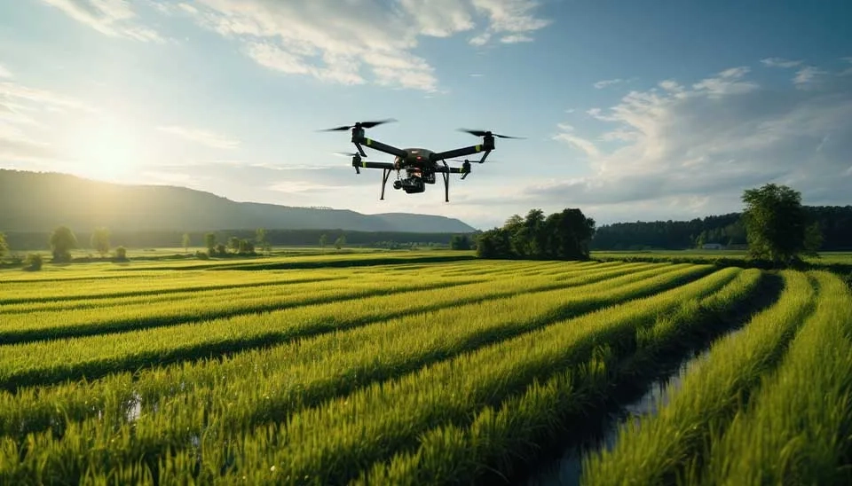
Recent advancements in drone technology have enabled applications of them In agriculture and irrigation, their high mobility and ability to collect large amounts of data make them essential tools for monitoring and data collection in agriculture (Kondo et al., 2024). Drones have revolutionized agriculture by improving spatial and temporal sensing capabilities, enabling accurate monitoring and management of crops. They support precision agriculture by allowing targeted irrigation , fertilizer usage, and pest management based on real-time soil moisture information. Drones assist in crop classification and monitoring, estimating biomass and yield, and identifying water stress, pests, weeds, and diseases, enabling farmers to optimize resources and enhance productivity. They are also crucial in monitoring droughts, reducing disasters, and conserving wildlife and forests by offering rapid evaluations of field conditions and environmental effects. By utilizing high-resolution imaging and multispectral sensors, drones facilitate efficient fertilizer application, minimize chemical usage, and promote sustainable methods, simultaneously offering important insights for improved decision-making and resource management (Rejeb et al., 2022).
There are various examples of using drones in agriculture and irrigation; here are some instances. Guan et al. (2019) used small drones for calculating high-resolution normalized difference vegetation index (NDVI) values. Next, these results were used to assess their correlations with fertilizer application levels and the yields of rice and wheat crops. Gašparović et al. (2020) evaluated four different classification algorithms for the creation of weed maps, combining automatic and manual methods as well as object-based and pixel-based classification approaches, which were used separately on two subsets. Yadav et al. (2024) investigated the usage of drones for gathering data for soil moisture levels, canopy temperature to calculate crop water stress index (CWSI), and crop evapotranspiration.
Floods rank among the most destructive and commonly occurring natural disasters; therefore, flood monitoring is a crucial task. Drones with LIDAR and infrared (IR) heat sensors can serve as an efficient tool for flood monitoring. A few highlighted flood-management activities that may benefit from drone technology include flood inundation mapping, flood-damage mapping, surface-water detection, flood-boundary identification, and flood-victim identification (Iqbal et al., 2023). For example, infrared (IR) heat sensors provide temperature data in flood-affected regions , enabling the identification of flood boundaries or flood damage estimation. Additionally, by providing real-time information about flood-prone areas , providing valuable information without risking individual lives and physical surveillance. This enables the rapid initiation of response actions, such as flood rescue missions and damage evaluations (Gau and Kumar 2023). Moreover, drones fitted with high-resolution cameras and sophisticated imaging software can aid in observing flood-impacted areas and locating displaced individuals or at-risk groups.
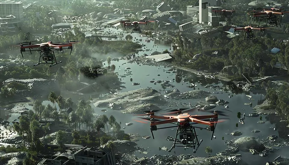
Drones have shown to be an efficient on-demand solution with the advantages of low cost, high safety, and robustness for flood management and monitoring purposes. Gebrehiwot et al. (2019) evaluated the potential of a deep learning model to extract flooded areas from images that were extracted by a drone. A VGG-based fully convolutional network (FCN-16s) was used in this research. Their results showed that the proposed model was able to extract flooded areas precisely from drone images. Karamuz et al. (2020) presented a framework for the updating of boundary conditions of the hydrodynamic model based on drone data for flood risk mapping.
Wetlands and their habitats provide many environmental and economic advantages to both the environment and communities, including carbon sequestration and maintenance of biodiversity , but wetlands are threatened by climate-induced changes, and they require study and monitoring to help ensure their preservation (Alphen et al., 2024). Drones that can capture high-resolution images are ideal for identifying small vegetation communities and have been used either alone or with high-resolution drone imagery with lower-resolution satellite data for wetland vegetation mapping, wetland dynamics studies, mapping treeless vegetation and identifying invasive species by color, texture, structure, and hyperspectral properties (Bhatnagar et al., 2021). Overall, drones can provide valuable tools for the preservation and restoration of wetlands.
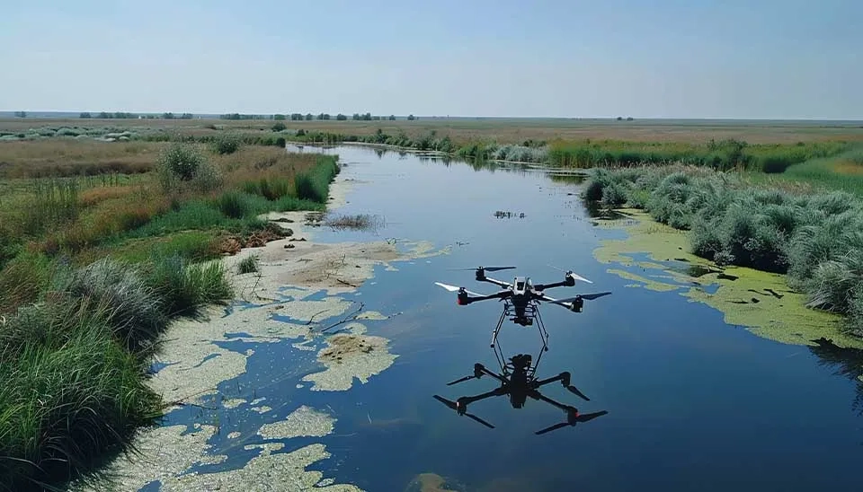
Drones have been used frequently for wetland restoration and monitoring. Here are some examples: Valencia et al. (2020) employed a fixed-wing drone with a red, green, and blue (RGB) camera for evaluating saturation of a wetland along with assessment of water and vegetation indices. Valencia et al. (2022) developed a framework by combining observational data testing and drone and satellite imagery for modeling wetlands saturation percentage. Harris et al. (2024) presented a method with an RGB camera to evaluate the impacts of wetland restoration. Their results indicated that drones are effective for this goal and can update us about real-time data for ecosystem function.
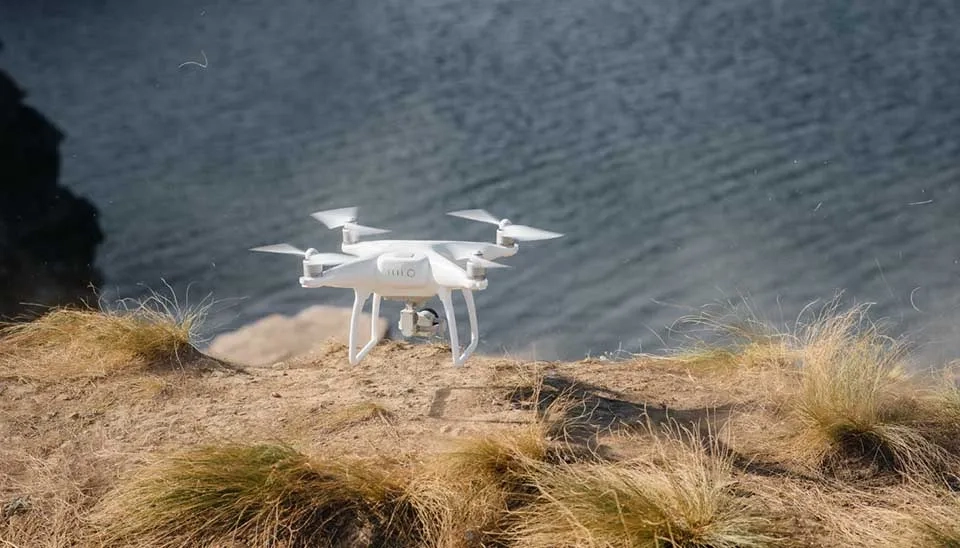
The coastal area serves as the boundary between land and water , and its location is quite dynamic. Coastal accretion decreases vulnerability by depositing sediment on beaches, while eroding coastlines increase vulnerability through material loss. Healthy coastlines are essential for ecosystem preservation and enhancing coastal quality of life (Novais et al., 2023). Drones can be used for gathering real-time data and high resolution for monitoring coastal and oceanographic areas. Cameras or LIDAR sensors can help us to evaluate the coastline changes and sediment deposition. Moreover, drones with Inertial Measurement Units (IMU), GPS, and RGB cameras can provide georeferenced images that can be utilized by various Structure from Motion (SfM) photogrammetry applications, creating new opportunities for crafting efficient algorithms that are able to generate ultra-high spatial resolution orthophoto mosaics and digital elevation models (DEMs) for coast lines (Ventura et al. 2023).
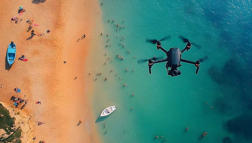
Drones have frequently been used for coastal and oceanographic monitoring with global positioning system (GPS) light detection and ranging (LiDAR) and tri-dimensional (3D) scanners. For example, Chapapría et al. (2022) studied the dynamic evolution of coastal areas by using drones on the Spanish Mediterranean coast for coastal erosion detection and monitoring. Andriolo et al. (2023) used drones to monitor macro-litter in coastal and river environments. Debris on shorelines, sand dunes, and river edges, as well as floating trash on coastal and river waters, can be identified and recorded using aerial drone images. Sujivakand et al. (2024) proposed a method for coastal monitoring to evaluate the efficiency of coastal defense systems at Marawila Beach, Sri Lanka, where various structures have been established. The drone images were evaluated through photogrammetric methods as a preliminary investigation to assess shoreline alterations, erosion rates, and sediment movement trends.
Groundwater recharge is the process in which surface water from sources such as rainfall, rivers, and lakes seeps into the ground to replenish aquifers (Timm et al., 2018). This process is vital for sustaining water supplies, particularly in areas reliant on groundwater for drinking, irrigation, and industrial uses. It is vital to evaluate the status of hydrogeological systems and to achieve efficient and sustainable management of this priceless resource. In recent years, novel methodologies integrating drones and in situ observations have been created to assess interactions between surface water and groundwater systems. This involves airborne LiDAR for basin morphometry, continuous drone imagery, SfM algorithms, and resistivity tomography. Data from LiDAR, photogrammetry, and satellite images, along with water level records, can be utilized to explore historical changes in water storage and budget.
Recent developments in remote sensing science have led to more advanced studies in the field of groundwater mapping with drones. Lendzioch et al. (2021) combined groundwater level (GWL) and soil moisture (SM) ground truth data with digital surface models (DSMs) and RGB, multispectral, and thermal orthoimages reflecting topomorphometry, vegetation, and surface temperature information generated from drone mapping for creating groundwater level maps. García-López et al. (2022) introduced a new approach for the remote collection of piezometric data from conventional large-diameter wells, utilizing drone-based LiDAR observations. Lee e al. (2016)used of a drone based on thermal infrared to assess Submarine groundwater discharge (SGD) variations.
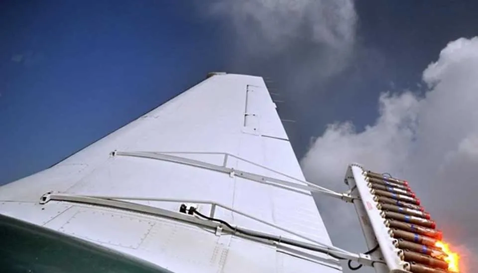
With the intensification of climate change and global warming, along with the rise of water scarcity as a major worldwide issue, effective weather modification techniques are becoming increasingly vital. Cloud seeding is essential for enhancing precipitation and demonstrates an advanced fusion of meteorology, physics, and technology. This approach demonstrates promise for reducing water scarcity, supporting farming, replenishing reservoirs, and even adapting to changing climate conditions by altering natural cloud processes. There are different types of cloud seeding, which we discuss in this article. One of the effective ways of cloud seeding is spreading the particles, such as Agl or salt, that start the rainfall on the top of the clouds, which is usually taken by aircraft, a costly approach. However, with the recent advancement of drones , these vehicles can be used in cloud seeding science, which can lower the overall cost of this weather enhancement method. Drones fitted with seeding flares for transporting seeding materials and sensors to observe atmospheric conditions can be sent to particular cloud formations, facilitating more precise and effective operations. They are capable of functioning at lower elevations and in regions that might pose difficulties for conventional planes to reach, minimizing operational risks and expenses.
Drones have gained extensive usage in various atmospheric science research applications due to their speed and efficiency. They are gaining attention in the cloud seeding science as well. For example, Jung et al. (2022) applied a a novel cloud seeding method using a drone that sprayed a cloud seeding material (calcium chloride) and the aircraft monitored the clouds in the southern part of the Korean Peninsula Miller et al. (2024) used drones for glaciogenic cloud seeding. One drone for equipped with a Portable Optical Particle Spectrometer (POPS) and meteorological sensors to probe the aerosol and meteorological properties in the boundary layer and another drone had seeding flares to produce a plume of particles that can nucleate ice in supercooled clouds.
Drones are one of the branches of remote sensing that revolutionized different aspects of water resources and penetrated to different areas that you cannot imagine, from beneath the ground to the upper sky. From SWE monitoring to reservoir management and even groundwater recharge and level monitoring. Drones can collect real-time images with an RGB camera, and those equipped with LIDAR and infrared sensors can directly calculate water and snow depth or detect even small variations in temperature, which is helpful for detecting crop diseases and the calculation of different water quality parameters, including pH and chlorophyll levels. Overall, the application of drones in different aspects of water resources signifies a significant advancement in environmental monitoring and management practices.
Keep reading


Comments
No comments yet
Be the first to comment
Share your thoughts and start the conversation.