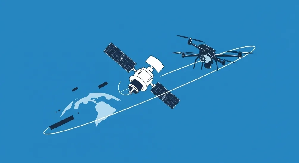
Remote Sensing
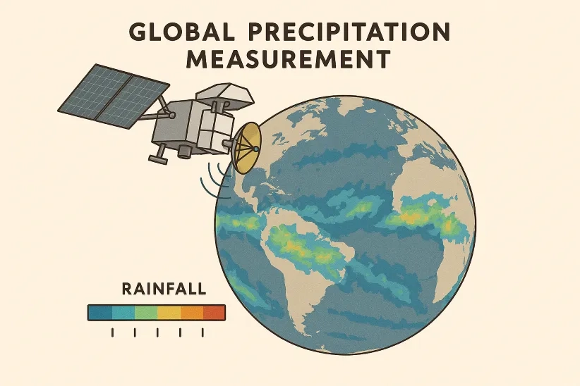
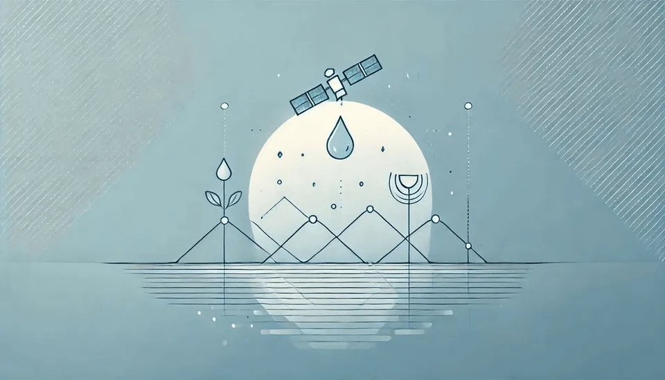
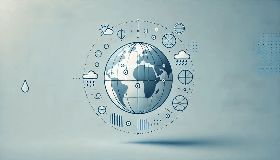
The Global Precipitation Measurement (GPM) Products
A global eye on every drop: Unveiling the Earth's pulse through the precision of GPM technology.
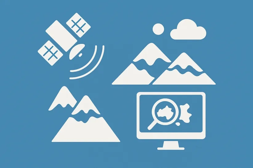
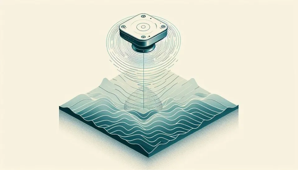
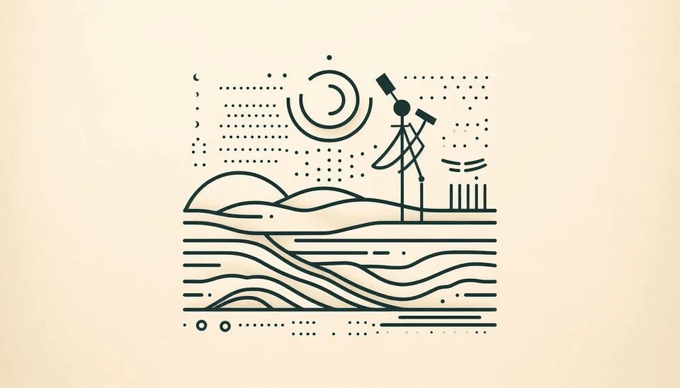
Snow Cover Assessment: From On-Site Measurement to Advanced Remote Sensing Analysis
Analyze critical Snow Parameters (SWE, depth) using modern On-site methods and powerful Sentinel-1 SAR and AMSR-2 satellite data. Essential for global hydrology and flood modeling.
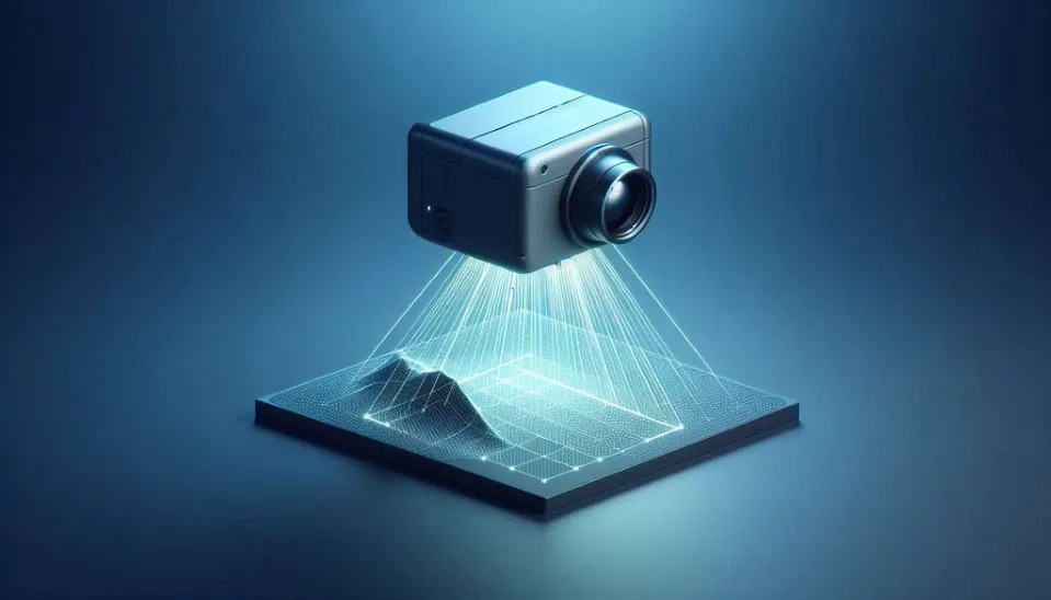
Unlocking Earth's Secret: The Power of MODIS Sensor on TERRA and AQUA Satellites
How long does it take to observe and process information about Earth's forests or water bodies, covering approximately 40.6 and 361.132 million square kilometers, respectively?
The Tropical Rainfall Measuring Mission (TRMM) Products
READ MORE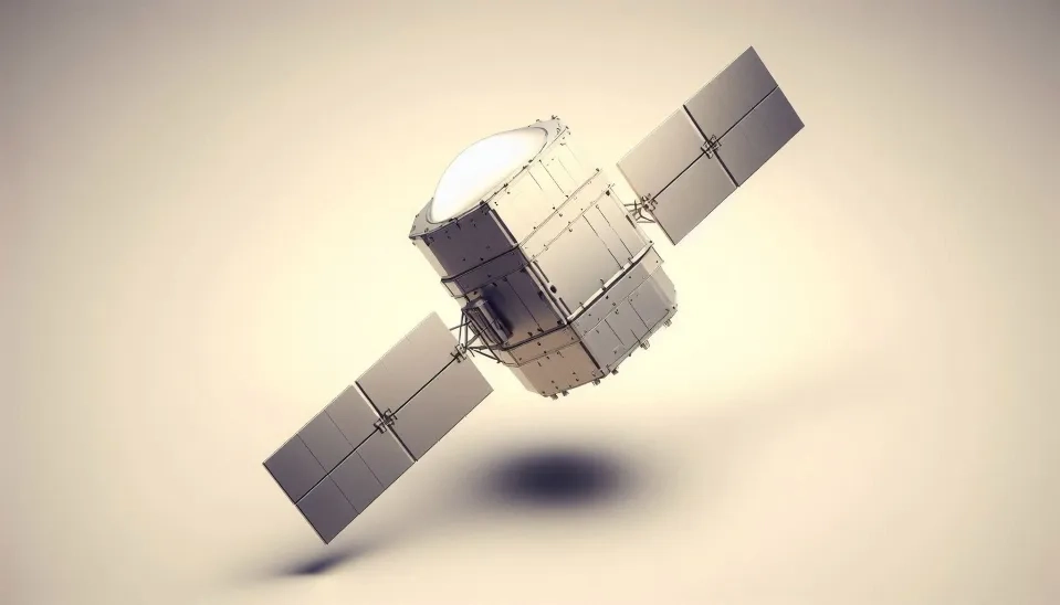
The Tropical Rainfall Measuring Mission (TRMM) Instruments
READ MORE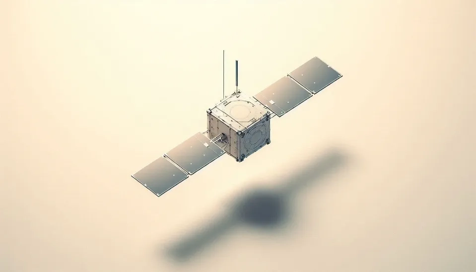
The Tropical Rainfall Measuring Mission (TRMM) Satellite
READ MOREKeep Reading

Showing 1–11 of 11